Hurricane Seabed Pickup
Hurricane Seabed Sediment Pickup: Gulf of Mexico Time Series
For a project with BOEM, VIMS, UCSB and ROMS at RutgersU, hurricane wave data from ROMS was convolved with seabed data from dbSEABED and bathymetry from SRTM30+.
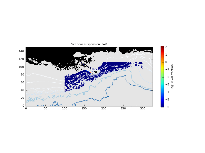
Sediment suspension ('pickup') under the oscillating bottom currents from sea-surface waves that attained 8m height and 90m wavelength in storms 'Gustav' and 'Ike' 2008, was modelled using erosion relations from Parchure and Mehta (1985) and Nielsen (1992) for the muddy and sandy environments, and also decremented the results for areas of rock, gravel that are shown by dbSEABED. The results are therefore spatially and temporally explicit. This can be seen for the muddy facies around the delta.
The analysis went on to apply sediment diffusion models (1D) and predict the Richardson and Reynolds numbers for the suspended sediment layers, and finally the criterea for flow instabilities leading to gravity flows in sloping areas. Deeper levels of the seafloor are less affected by the waves.
Graphic: Time-series movie-mapping of the ppm volume suspended sediment concentrations, near-seafloor, created by flows from the sea-surface waves during hurricanes Gustav and Ike, 2008. This single image shows activity near storm-peak. The depth contours are 25,50,100,250, 500, 1000 and 2000 m WD. (Dated Aug 2017)